Ocean Transit Provides
following Services
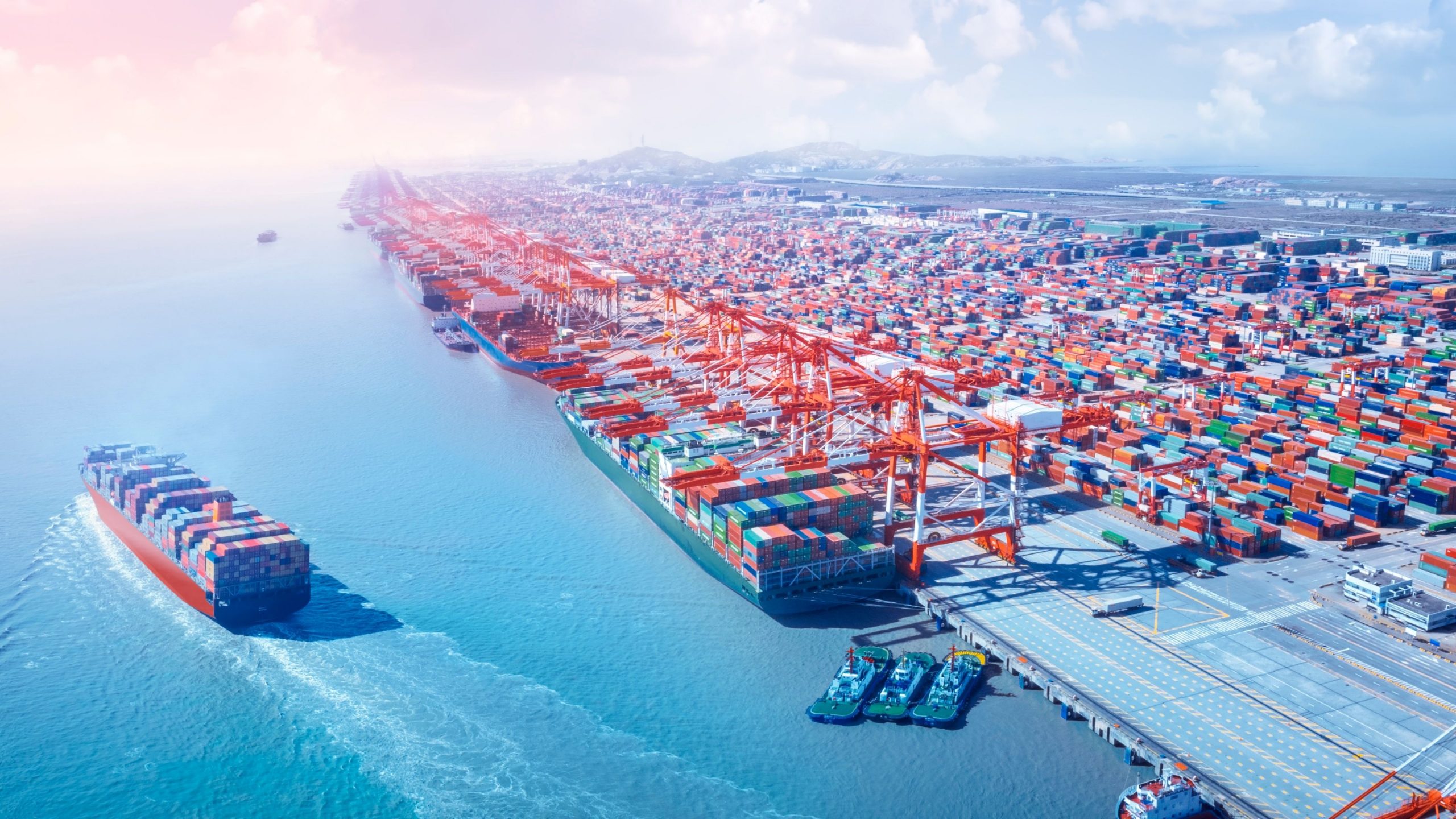
Real-Time Ocean Traffic
Track the movement of ships across the globe with our dynamic maps. View real-time traffic data and explore the world’s busiest shipping routes.
- Growth Method Analysis
- Transforming Business
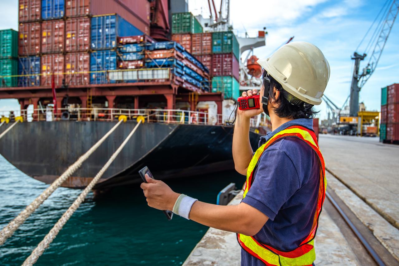
Ship Information
Access detailed information about vessels, including: Ship type (cargo, tanker, passenger, etc.) IMO number and MMSI details Size, tonnage, and flag state Current location and speed
Get Started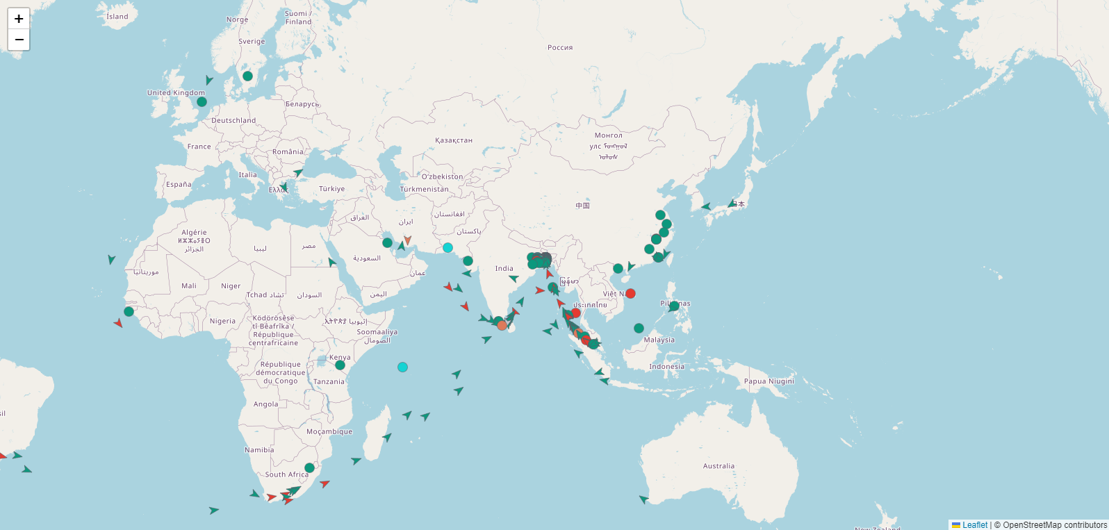
Vessel Maps
Navigate through interactive maps to explore ship locations, routes, and destinations. Our maps provide a visual overview of maritime activities worldwide.
- Growth Method Analysis
- Transforming Business
Port Information
Get comprehensive details about ports worldwide, including: Location and operational status Services offered (loading, unloading, refueling) Port contact information Historical data and performance metrics
Get Started