loader

Track, Explore & Navigate the World’s Oceans

Access real-time vessel locations, port insights, and shipping routes with precision. Stay informed, optimize logistics, and make smarter maritime decisions—all in one powerful platform.

Ocean Transit

Welcome to Ocean Transit

Your one-stop destination for comprehensive information about ocean transit, vessels, ports, and much more. Whether you’re a maritime enthusiast, a professional in the shipping industry, or simply curious about global sea routes, Ocean Transit is your trusted resource.

Simplifying Maritime Data

Making shipping data easy to access for professionals, researchers, and the public.

Real-Time Vessel Insights

Stay updated with live ship movements, port details, and key industry trends.

Your Maritime Intelligence Hub

Track shipments, analyze port traffic, and access real-time maritime data with ease.

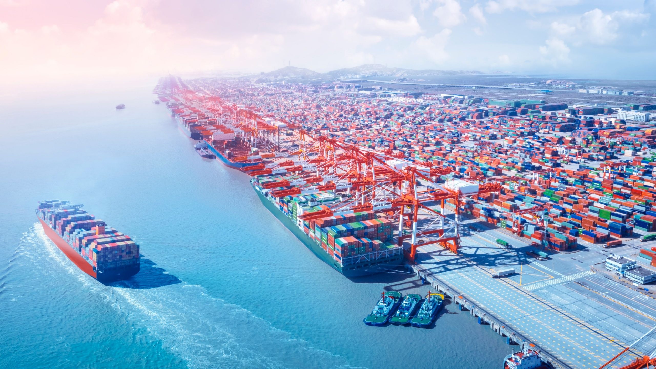
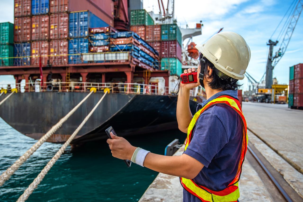
Why People Choose Ocean Transit

Empowering Maritime Professionals & Enthusiasts.

At Ocean Transit, we provide cutting-edge tools for maritime tracking and intelligence. Whether you’re a shipping company, port operator, or an enthusiast, our platform offers:

Join Ocean Transit today and navigate the seas like never before!

Accurate & Up-to-Date Data

Stay ahead with real-time vessel tracking and port information.

User-Friendly Interface

A seamless experience with easy navigation and interactive maps.

Reliable & Secure

Trusted by professionals for accurate maritime insights.

Global Coverage

Track ships and ports worldwide with our extensive database.

Ocean Transit Provides
following Services

Features Image
Features Image

Real-Time Ocean Traffic

Track the movement of ships across the globe with our dynamic maps. View real-time traffic data and explore the world’s busiest shipping routes.

  • Growth Method Analysis
  • Transforming Business
Get Started
Features Image
Features Image

Ship Information

Access detailed information about vessels, including: Ship type (cargo, tanker, passenger, etc.) IMO number and MMSI details Size, tonnage, and flag state Current location and speed

Get Started
Features Image
Features Image

Vessel Maps

Navigate through interactive maps to explore ship locations, routes, and destinations. Our maps provide a visual overview of maritime activities worldwide.

  • Growth Method Analysis
  • Transforming Business
Get Started
Features Image
Features Image

Port Information

Get comprehensive details about ports worldwide, including: Location and operational status Services offered (loading, unloading, refueling) Port contact information Historical data and performance metrics

Get Started

Subscription Packages

Standard Pack

3,000

Per Month
with 1-day free trial
  • Access to Sea Map
  • Access to Upcoming Vessel Data
  • Access to Ports
  • Only One Country Vessel Information
  • Unlimited Usage During Subscription
  • Only 1 Device Login
Pro Pack

5,000

Per Month
with 2-day free trial
  • Access to Sea Map
  • Access to Upcoming Vessel Data
  • Access to Ports
  • Access to Vessel Owner Information
  • Access to Vessel Owner Emails
  • Only One Country Vessel Information
  • Unlimited Usage During Subscription
  • Only 1 Device Login
  • Priority Support